Capitol Reef National Park
We were actually ahead of schedule by the time we got to Grand Junction, so we decided to continue on to Torrey, Utah. The drive from Hanksville to Torrey through the Capitol Reef National Park was beautiful in the late afternoon. It was dusk when we arrived at the Thousand Lakes campground so we only had a little light to set up. We had nice views of mesas and mountains all around, but we didn't see those "thousand lakes". We found out that the name comes from a mountain to the north. A ten hour drive is unusual for us, but it went very fast! We hadn't made a reservation because we weren't sure how far we'd make it that day. The full-hookup campsites were all taken, so we backed into an "electric/water only" site for one night. The next day we moved into a full hookup site where we spend almost a week, allowing us to explore and enjoy the area.
|
Capitol Reef National Park Visitor Center Later in the day, we took a break from our work to go to the Capitol Reef National Park Visitor Center. After watching the park movie and buying a couple books, we planned two trips into the park.
|
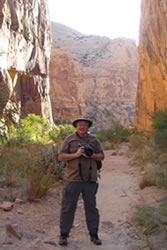
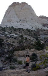
Capitol Reef Scenic Drive Our first exploration into the park was down the main road on the Scenic Drive south from the Visitor's Center. As we passed the park campground, we noted that it was very busy. The park campgrounds are nice but don't have full-hookups, so we had planned to stay at our campground on the outskirts of town. Although the morning was cool, it quickly warmed up into the 70s. After a couple miles, we parked along the road for Annette to switch into comfortable shorts. We also enjoyed views of the Egyptian Temple formation. While we were stopped, we met and talked with two couples from Germany. We often meet interesting people in the National Parks. Sometimes we encounter more people from Europe and Asia than from the United States!
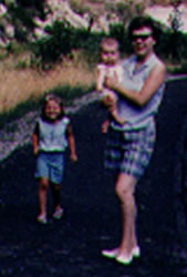
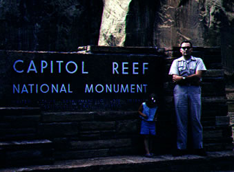
The photos on the left and below show Annette, her parents, and baby sister at the park in 1964. It looks like the trail and signage is new.
|
  |
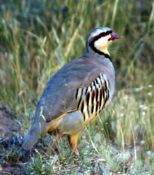
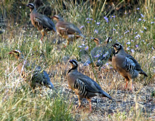
As we enjoyed traveling along the winding gravel road between the Capitol Canyon walls and noticed a covey of chukar. Annette got out of the car and followed them along the canyon trying to get a good photograph. They have distinct, fascinating markings.
Chukars are named for their call; the signal they use to gather a scattered covey of 10 to 20 birds. Chukars are an introduced game bird from Asia.
|
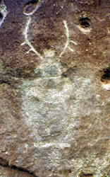
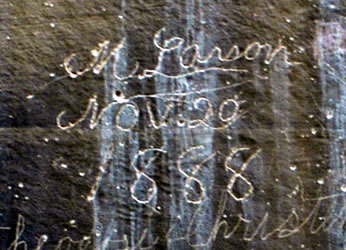
Pioneer Register Hike The Capitol Gorge ended at a parking lot, and from there we hiked on along the canyon floor. There was very little sign that this was once the main roadway through this region. Along the canyon walls we discovered artwork by early Native people as well as signatures from pioneers passing through the area.
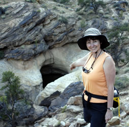
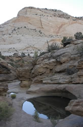
A short, steep hike up a canyon sidewall led to a series of natural pockets in the rocks called tanks. Many of these tanks were filled with water. People have used these natural water tanks for thousands of years.
|
|
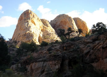
On the way back out of the canyon, we stopped to sketch and photograph Cassidy Arch. |
  |
Go to Lamb & Johnson Menu
|
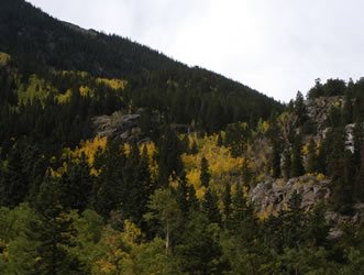 The first part of September we spent Estes Park, Colorado. Mid-month we got up early and headed south through Boulder to catch I-70 at Golden. The drive was beautiful and traffic was light. Annette hung out of the RV window to take photographs of the golden Aspens.
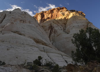
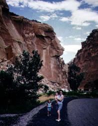 We took a drive down a side road through Capitol Gorge. The park brochure indicated that this was the main road until 1962. Annette probably took this older road when she and her parents were moving from Iowa to California in 1961.
 Tanks Trail