Heritage Trails Wyoming July 12th we said goodbye to Estes Park and spent the day driving to Laramie Wyoming. Rather than taking busy Interstate 25, we decided to take Highway 287 through the back country.
Wyoming is well-known for it's historic trails including the California, Oregon, Mormon, and Bozeman Trails. The Pony Express also came across the state. Throughout our month in Wyoming we found ourselves crossing these trails over and over again. |
We spent our first evening in Wyoming visiting a long-time friend Landra, a professor at University of Wyoming. This was our first opportunity to meet Landra's husband, John Baker. John is a local artist known for his sculptors (right) of noted Wyoming women. His life-sized sculpture titled "The Franchise" depicts Louisa Swain holding a ballot. Read a Casper Newspaper article for more information. John also creates great wildlife art. In addition to serving wonderful elk steaks, we were also treated to great conversation on topics ranging from current events to politics to the bronze casting process used in John's sculptures. The next day we drove on to Casper. Since Annette needed to fly for a two week project in Dallastown Pennsylvania, we decided to station ourselves there. Casper has a regional airport with free wireless Internet access. |
National Historic Trails Interpretive Center The BLM's National Historic Trails Visitor's Center was the highlight of our time at Casper. Simple interactive exhibits such as selecting supplies for your wagon and using the telegraph were great for all ages. More complex exhibits such as a simulated experience crossing a river made the adventure come alive. We both tried to pull a handcart. It was much more difficult than it looked. Their multimedia show included a large screen presentation with audio and video along with specialized lighting for life-sized exhibits. |
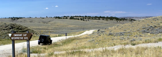
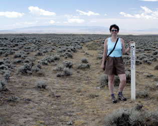
Historical Trails Drive After Annette arrived back from a couple of weeks "on the road" we decided to take a long day trip along the historic trails. Rather than taking the highway, we drove a dirt backroad where we could follow the trail ruts. While we were at the National Historic Trails museum, we had purchased a copy of the Tour Guide published by the Natrona County Historical Preservation Commission. This guide highlighted features of Natrona County Wyoming and provided good directions for our trip. The first people to live in this area were American Indians. Next, European hunters, trappers, and explorers passed through the state. Between 1841 and 1869, some 500,000 pioneers moved through on their way to Oregon, California, and Utah. The first pioneers were seeking fertile farmlands in Oregon. Later, migrations included Mormons seeking a new life in what is now Utah. When gold was discovered in California, another wave of emigrants came through. Wyoming has many landmarks that were mentioned by diarists along the trail including Avenue of Rocks, Independence Rock, Devil's Gate, Split Rock, and South Pass. Most emigrants followed the south bank of the North Platte river and made their final crossing near Casper. We skipped some of the guide's stops in the downtown area and headed west of town to Emigrant Gap on Poison Spider Road.
Next we headed down County Road 319 to Avenue of Rocks, Devil's Backbone, and Clayton's Slough. This area had a strange collection of rocks and alkali. Continuing down the road, we could see an oasis called Willow Springs often described by early pioneers as a camping place. The wagon ruts were very clear up the steep area called Prospect Hill and Ryan Hill. A small interpretive area at the top of the hill described the difficulty of the steep area. The ill-fated Martin party of the Mormon migration didn't make it to this area until mid October. They had to climb the hill in ice and snow.
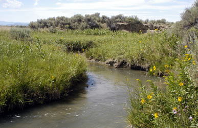
We stopped for lunch at the Horse Creek (Greasewood) area along a beautiful stream with tall grass. This area was noted for good water. After lunch we headed a few miles to State Highway 220.
|
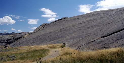
Independence Rock The most memorable landmark for most emigrants was Independence Rock. Travelers strived to arrive at this rock by the 4th of July to ensure that they could make it to their final destination before winter.
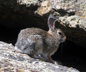
Although the rest stop and interpretive center were closed for repair, we enjoyed a walk around the huge rock. About half way around the perimeter, we decided to climb to the top. As we worked our way up, we saw a few inscriptions. When we reached the top we were greeted by many rabbits who lived among the boulders. |
|
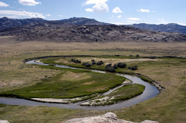
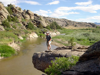
The view from the top of Independence Rock was spectacular. We particularly liked the way the river meandered along the plains.
|
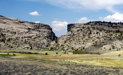
Devil's Gate A few more miles down the rock is the location of Devil's Gate.
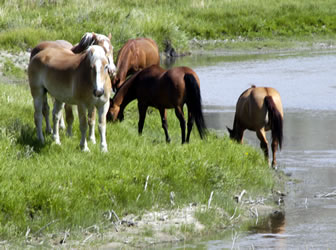
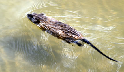
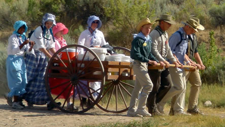
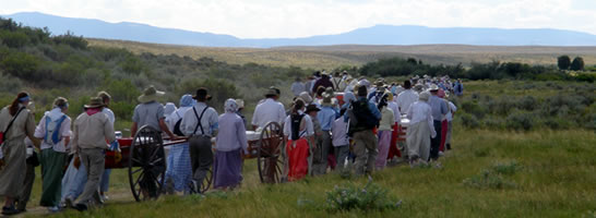
The Sweetwater River flows through a crack in the rocks to create a steep narrow canyon called Devil's Gate. After taking a short walk along a BLM trail overlooking the gap, we decided to drive down and park for a hike inside the gap. Formerly known as the Sun Ranch, the land was purchased by the Mormon church in 1997 and is now the site of the Mormon Handcart Visitor Center. They now maintain trails to Devil's Gate as well as Martin's Cove. When we entered the parking lot we noticed many buses loaded of teenagers. Although this is a popular trip for youth groups, the museum area itself was quiet. However the bathrooms were filled with excited teenagers in their period costumes getting ready for their overnight handcart camping trip. After a nice introduction to the area by a series of volunteers, we took the short hike out to the gap. On the way out to the gap we passed horses that are used during re-enactments at the park. We also stopped to watch a muskrat work his way along the river.
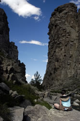
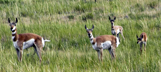
The area of Devil's Gate was beautiful! After taking photographs from a distance, we decided to walk along a path into to gap. Larry spotted a couple deer across the river and stopped to take photographs. Annette continued into the deep canyon and found a good spot to do some sketching.
|
Mormon Handcarts On the way back from Devil's Gap, the trail intersects with the handcart route to Martin's Cove. This is the route taken by the Martin Company in 1856. This group left from England later in the year than most groups. They left Iowa City late in summer arriving in Wyoming three months later than most groups. They hit a blizzard on October 19 and many of their party died. Luckily a rescue party arrived. They regrouped in Martin's Cove on November 30, 1856. Although most survived, they lost one-fourth of their people. Teenagers from around the country come to this site to re-enact the final leg of the trip to Martin's Cove. Anyone can check out a two-wheeled handcart and take it the five mile round-trip.
|
We particularly enjoyed our trip to the Handcart Visitor Center. Next time, we're going to hike the longer trail with a handcart. We also want to go to Fort Casper.
|
Go to Lamb & Johnson Menu
|
 Laramie