Bighorn Country Day 2, Wyoming We got up in the morning and headed down the dirt road to Highway 14. We checked a couple of campgrounds where we might bring the RV next time. We decided the Shell Creek Campground would be the best choice. Although no electricity is available, there's water and a dump station at Burgess Junction. It also looks like there is a nice gravel road leading into the wilderness area. |
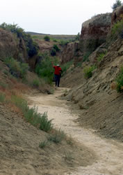
Next, we stopped at the Shell Canyon Interpretive Center. This site contained a small shop and interpretive trail leading to overlooks of the falls and canyon. |
In the distance we could see Copman's Tomb, Brindle Falls, and Elephant Head mountain. We were a little disappointed that not much hiking was available. With metal fences and sidewalks, it was really designed for families.
|
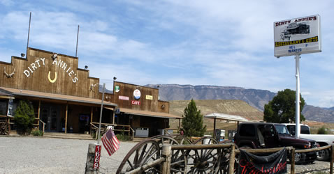
Dirty Annie's County Store Having read about Dirty Annie's at the geocaching website, we decided to stop. While Larry got gas, Annette bought water and ice. We stayed for burgers and ice cream before continuing our adventure. We also bought a couple of books including a nice Geo-sciences guide called Red Gulch Dinosaur Tracksite.
|
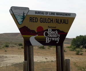
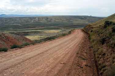
Red Gulch/Alkali Scenic Byway We left Highway 14 and headed into the badlands on the Red Gulch/Alkali National Back Country Byway.
|
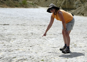
 Our first stop was at some recently discovered dinosaur tracks at Red Gulch Dinosaur Tracksite. The site contained great interpretive signs and a short trail. Our first stop was at some recently discovered dinosaur tracks at Red Gulch Dinosaur Tracksite. The site contained great interpretive signs and a short trail. |
|
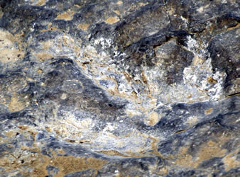
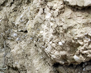
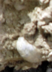
In addition to the dinosaur tracks, the area was filled with "devil's toenails". These ancient shrimp fossils were easy to find in the loose sand.
|
We spent much of the afternoon traveling the backroad through hills covered with sagebrush.
|
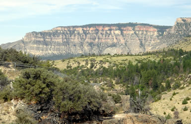
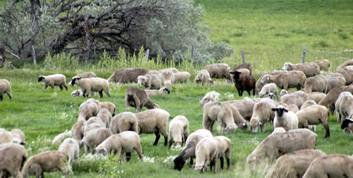
At the end of the back country byway, we visited the Medicine Lodge State Archaeological Site. This park was a disappointment. It seemed that people in charger were more interested in maintenance of their grass than the security of the historic site. Much of the rock art had been defaced and damaged. It also looked like many people had dug up rocks in the area. Next time we're going to take the back country drive beyond the park to explore some of the more remote rock art. We continued our trip through Ten Sleep, a rural agricultural center with many fields and ranch animals. Finally, we drove through the mountains to Buffalo. |
|
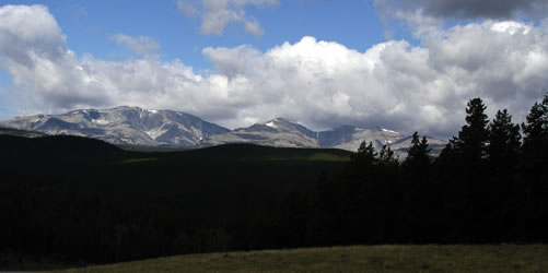
Cloud Peak Skyway After a week in Buffalo, it was time to head to Cody. We enjoyed a leisurely drive along the Cloud Peak Skyway on US Route 16. We stopped at an overlook and took to the following photograph of the bighorn mountains.
|
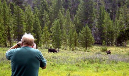
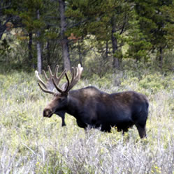
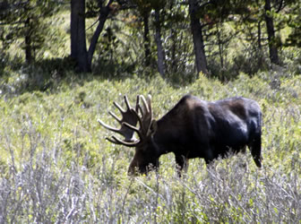
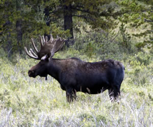
Moose Stop
|
 |
 We continued our drive over Power River Pass and down into Ten Sleep. Next trip we're going to spend some time exploring the back country of the Cloud Peak Wilderness area. There are many places along the Cloud Peak Skyway where we could dry camp in the RV. We continued our drive over Power River Pass and down into Ten Sleep. Next trip we're going to spend some time exploring the back country of the Cloud Peak Wilderness area. There are many places along the Cloud Peak Skyway where we could dry camp in the RV. |
 |
 |
Go to Lamb & Johnson Menu
|
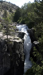 Shell Canyon
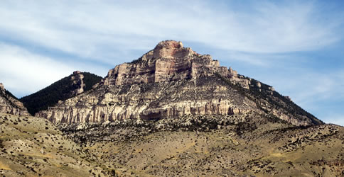
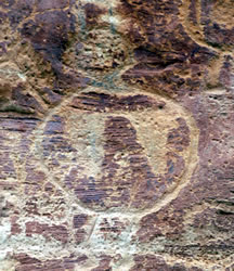 Medicine Lodge State Archaeological Site
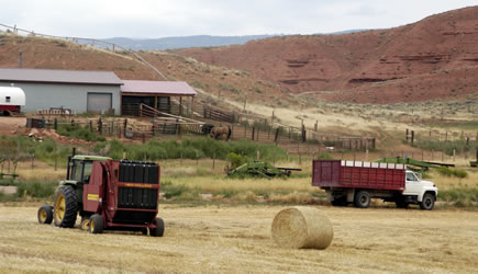
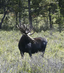 Early in the day we spotted a small RV parked on the side of the road. We looked to the left and saw three moose in an open marshy area. Larry grabbed the digital camera and Annette found the video camera in the Jeep. We spent an hour watching two male and one female moose grazing.