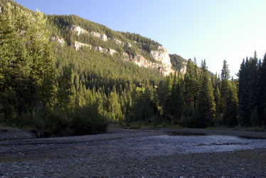
Beartooth Mountains, Wyoming With only a couple days left in Cody, we took a day trip along the Chief Joseph and Beartooth Scenic Highways in northwest Wyoming and into Montana. We loaded our cooler with water, Diet Coke, lunch meat, and cheese and headed north out of Cody.
|
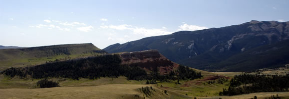
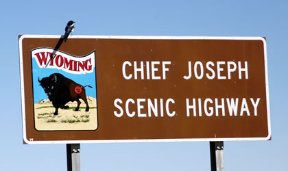
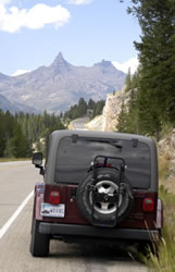
Chief Joseph Scenic Byway As soon as we turned onto the Chief Joseph Scenic Byway we knew we'd enjoy the day. The weather was great and the views were magnificent. The road was in good shape with lots of places to stop and look east toward Heart Mountain and the mountains beyond. The photo below shows a view to the south. |
 |
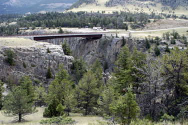
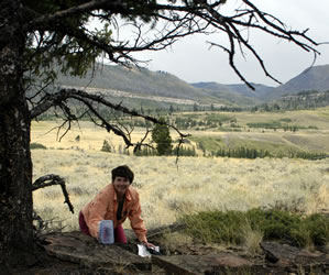
Dead Indian Pass Our first stop was near Dead Indian Pass. We found the location of the "Wild Weekend" geocache. Although the geocache had been removed, we left one of our painted rocks for the next geocacher to enjoy. Next we stopped at the small turnout for the pass for some photography and sketching. The Clarks Fork of the Yellowstone River is a National Wild and Scenic River and cuts a deep canyon through the area. The photo below shows a deep canyon and bridge crossing the Sunlight Creek that runs into the larger river.
|
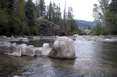
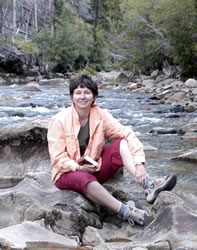
Painter/North Crandall Geocache We stopped for short hike to the "Painter/North Crandall" geocache. After logging the cache, we walked down to the creek and enjoyed the interesting rocks. |
The rocks were deeply sculpted by the running water. We saw what looked like dog tracks and animal scat, but saw nothing but a few birds.
|
 |
Around every corner we were presented with fabulous views. From the end of the Chief Joseph Scenic Byway, we turned right onto the Beartooth Scenic Byway. The road immediately headed into the mountains. |
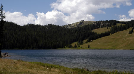
The Beartooth mountains contain some beautiful lakes. We stopped at Beartooth Lake (below) and Island Park Lake to explore the campground and enjoy the mountain views.
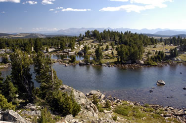
Some of the most amazing lakes are really just small ponds. An area called Chain Lakes contained dozens of ponds. We stopped for lunch next to one of these unique places.
|
Wilderness Area Along the Wyoming-Montana border is a wonderful remote mountain range. Rugged mountains fill the landscape as far as the eye can see in all directions. As we rose in elevation, the wind grew stronger and the temperature dropped.
|
A few miles past the sign for the Montana border, the road was closed. They're working on the road beyond this point, so we turned around and headed back across the tundra. |
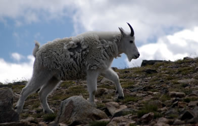
As we drove across the tundra, Larry spotted a mountain goat. We created a separate page for our great mountain goat photographs. Check out our mountains goat photos. |
 |
|
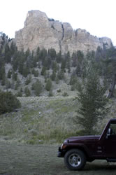
This area of northwest Wyoming and southern Montana is huge. We'd like to spend a couple weeks in this remote area sometime. One of the only campgrounds in the area is at Sunlight Basin, so we decided to take a side road to check out the sites. The gravel road was great for an RV, but the campground was small. However across the road from the main campground is an large open area that would be great for dry camping (right). |
Just down the hill is the beautiful Sunlight Creek. We'll be back someday!
|
Heart Mountain Evening We'd hoped to have time to visit the Heart Mountain area before dark. So near dusk we decided to cut across the back country on a dirt road in hopes of arriving at Heart Mountain in time to take some photos. Unfortunately it was dark when we arrived, so we decided to return the next day. |
Go to Lamb & Johnson Menu
|
 Absaroka-Beartooth Wilderness


 Sunlight Basin