
 Maps and Globes
Maps and globes allow the student information scientist to study the world from a distance. Whether planning a trip, analyzing the patterns of earthquakes, or examining the cultures of countries, maps and globes provide a concrete reference tool.
Historical maps are used to analyze the development of urban areas over time, while topographical maps can be used to understand why some areas might be more or less populated based on the terrain.
The following examples demonstrates how maps and globes facilitate the learning experiences of the student information scientist.
Global Trotter
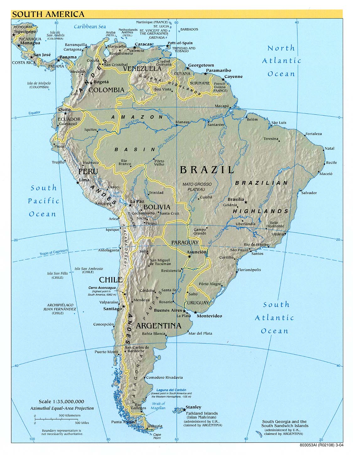
 After reading the book The Motorcycle Diaries: A Latin American Journey by Ernesto Che Guevara and then watching the movie, Dylan dreams of retracing the journey through South America. Dylan explored a variety of maps before selecting one to use in his exploration of South America.
Explore Dylan's investigation for more detail.
Explore Mr. Washington's involvement as an instructional specialist
Explore other examples of map and globe use:
Explore Kristen's investigation for more detail.
Explore Nathan's investigation for more detail.
Butterfly Migration
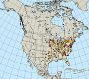
Each year the group participates in the Journey North project. This global study involves students in sharing their field observations with others across North America. They view the progress of the project on the Journey North Monarch Butterfly website and trace the migration on a wall map in the learning laboratory where others can share the experience. The visual below shows a map from the website. Click the map to learn more about this project.
Explore Samantha's investigation for more detail.